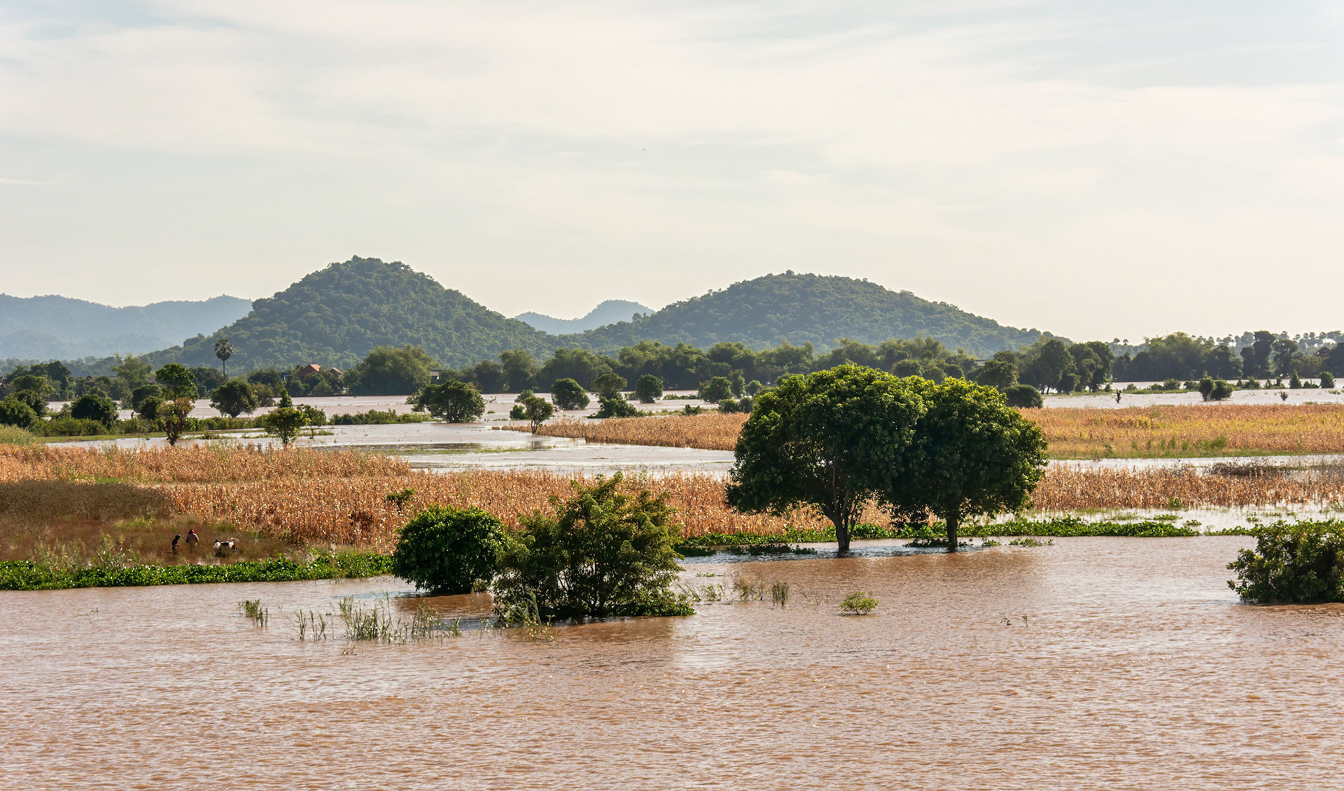
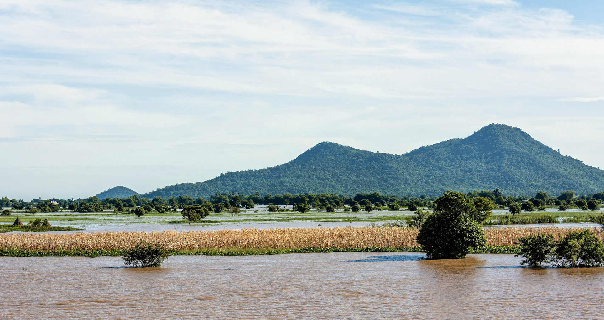
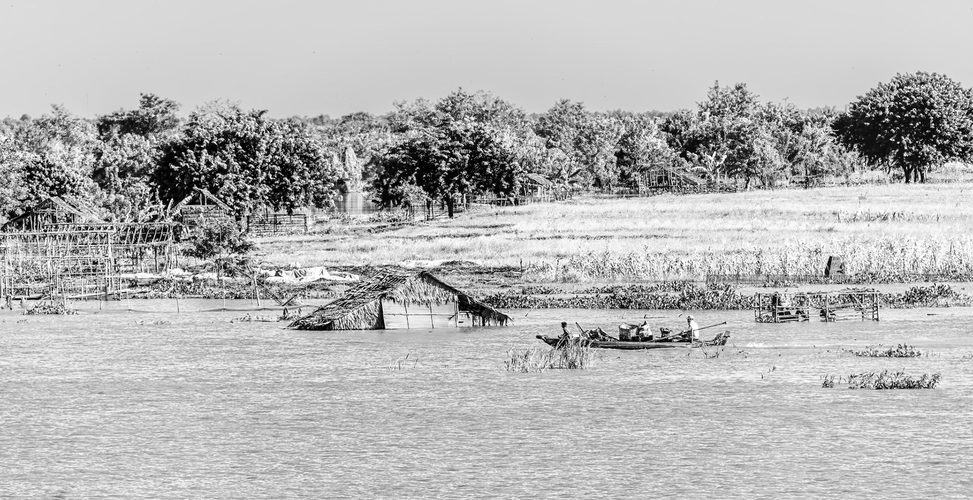
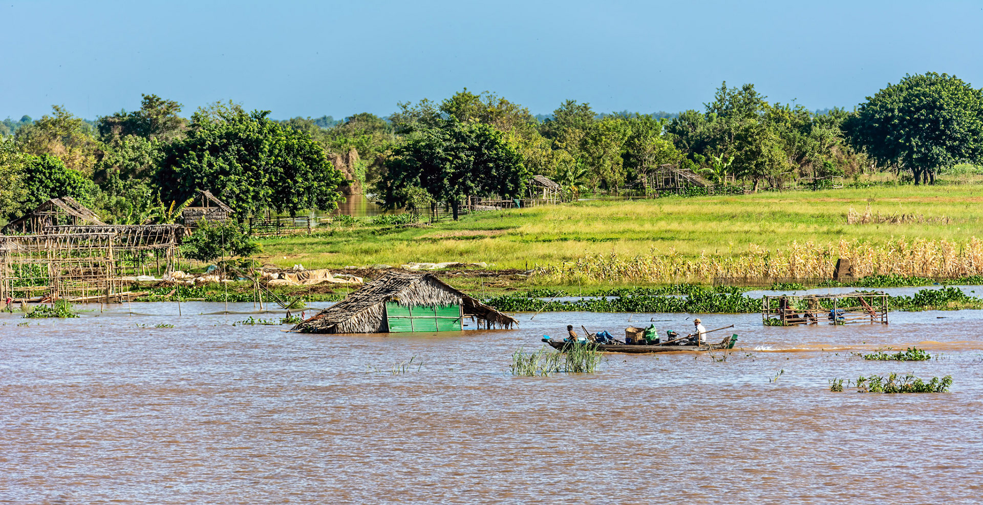
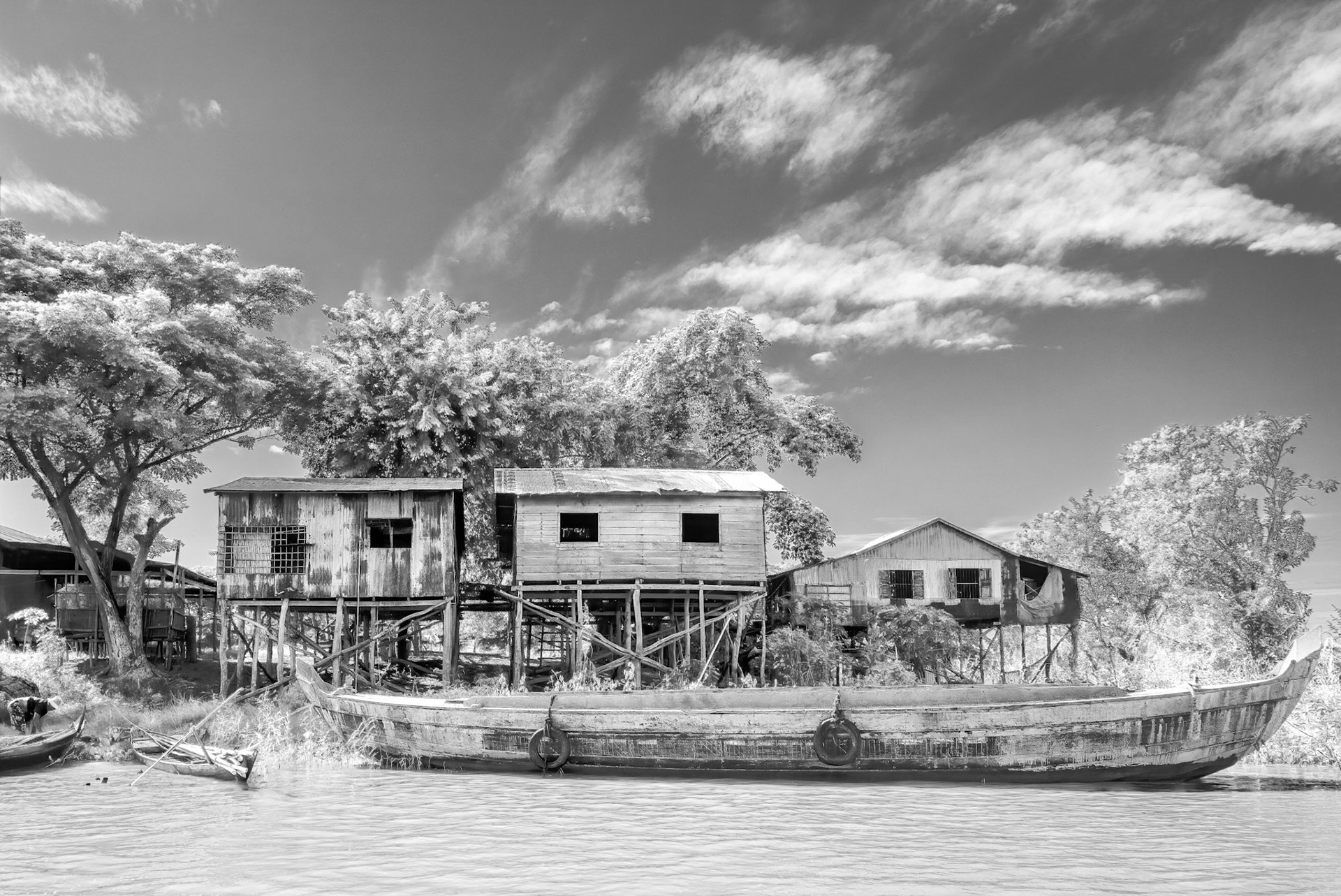
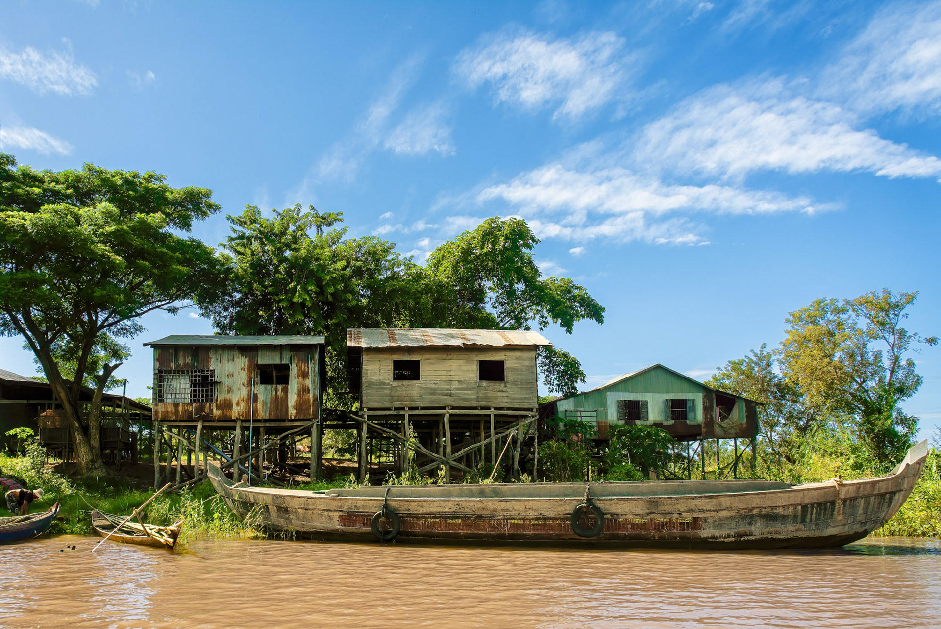
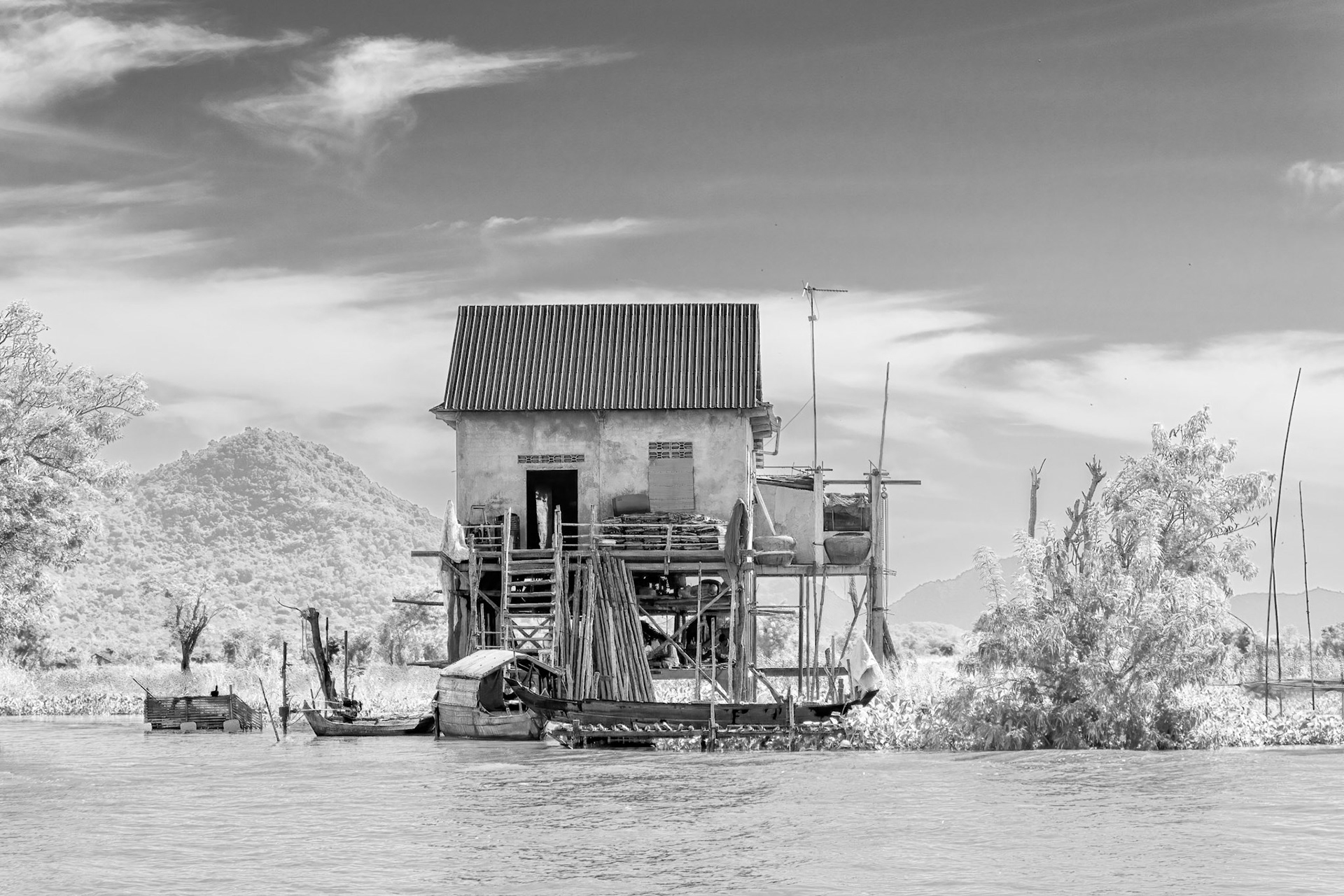
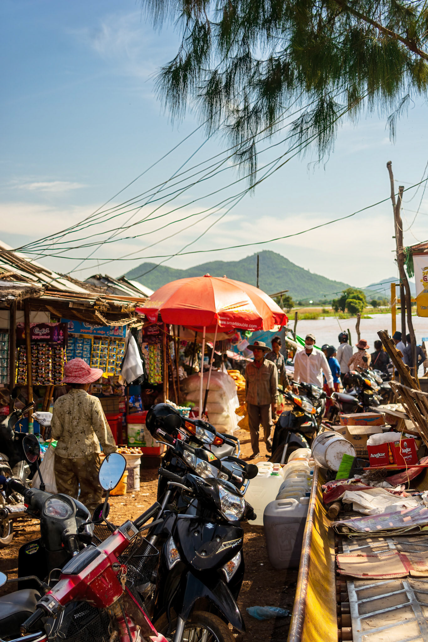
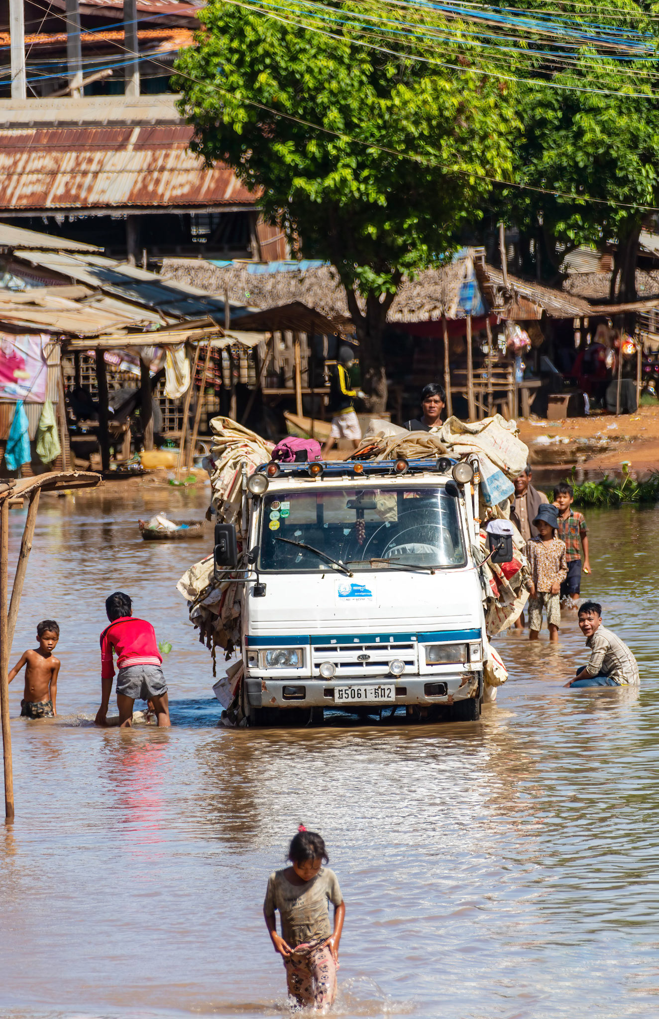
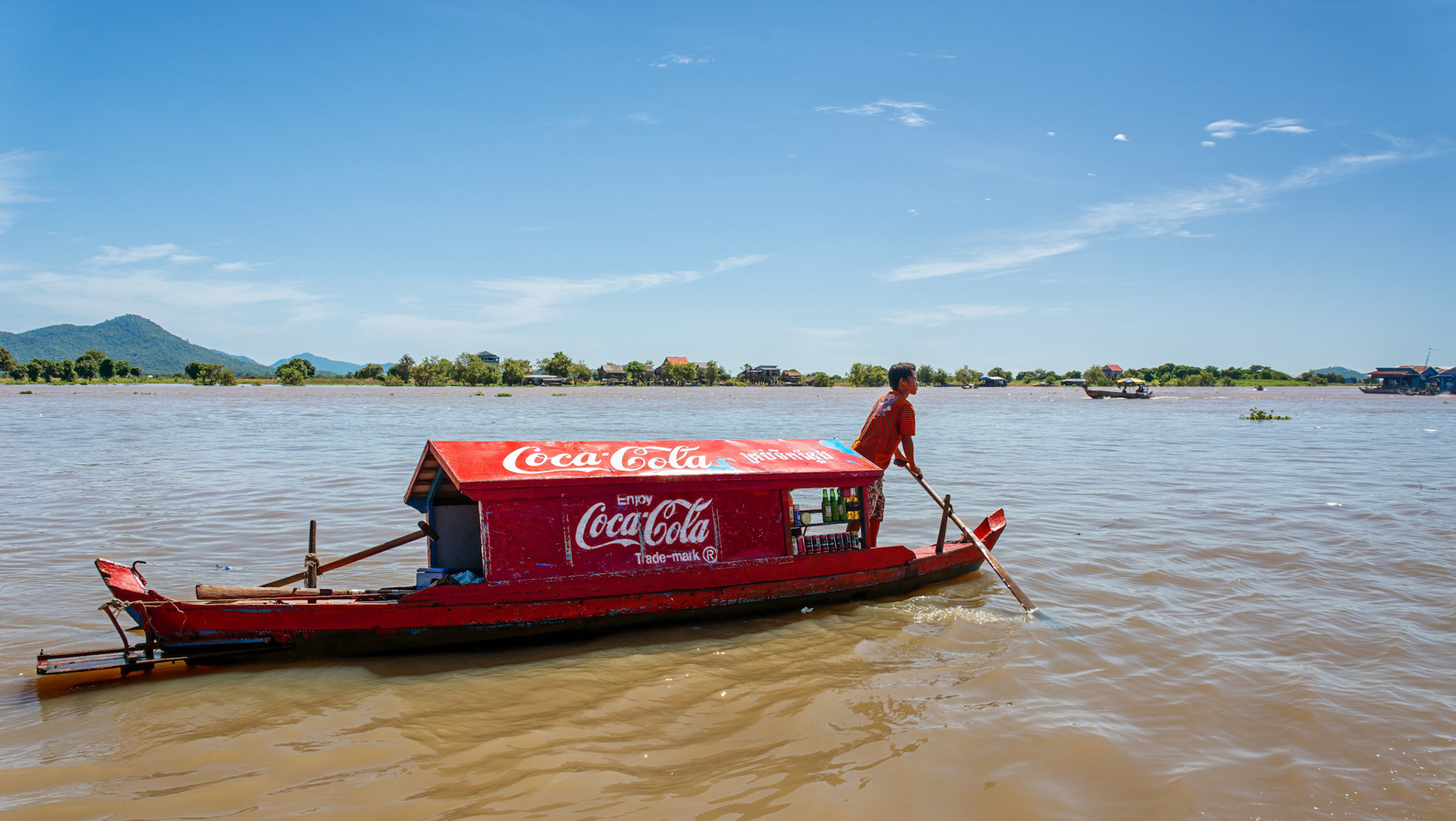
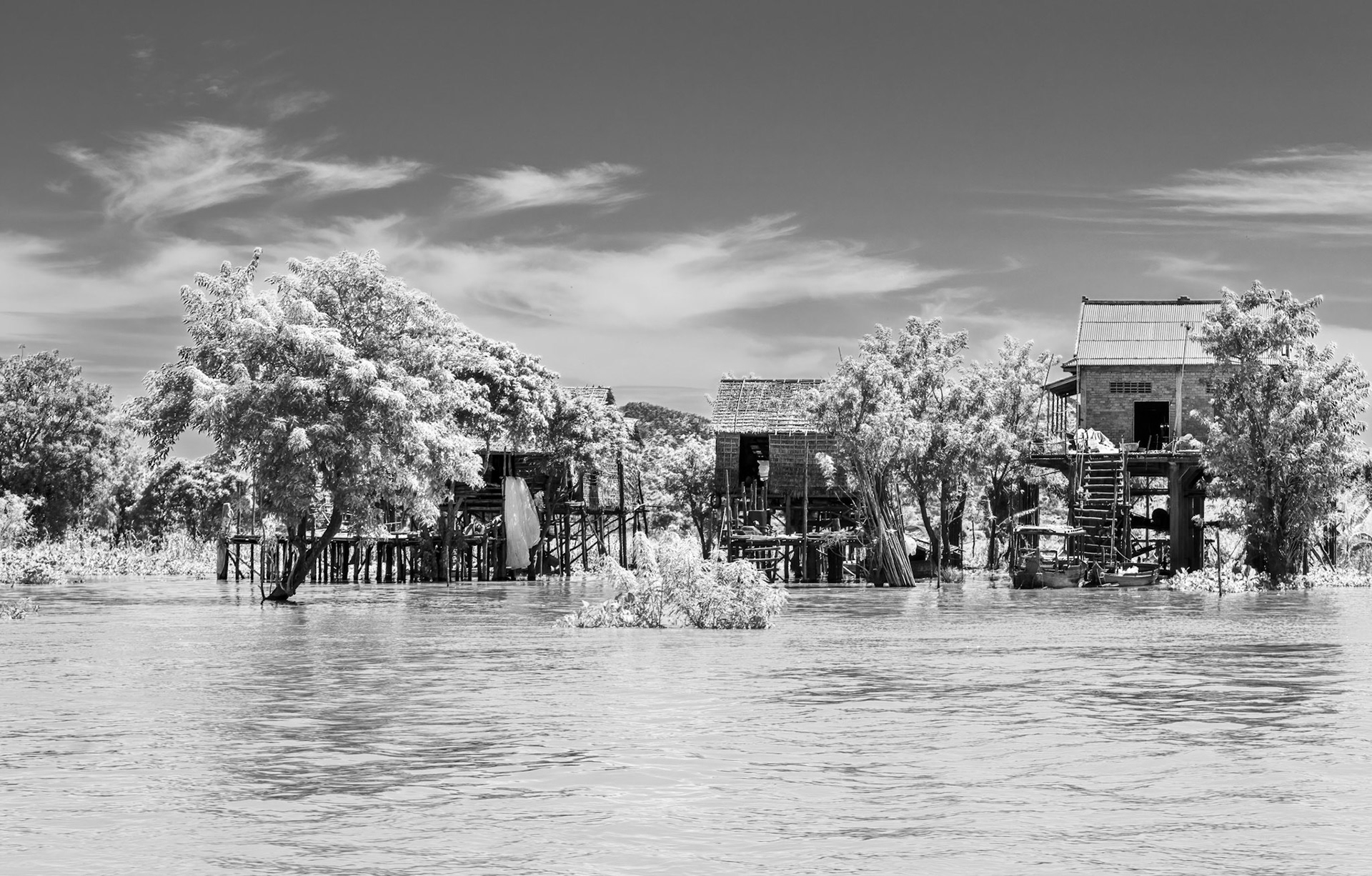
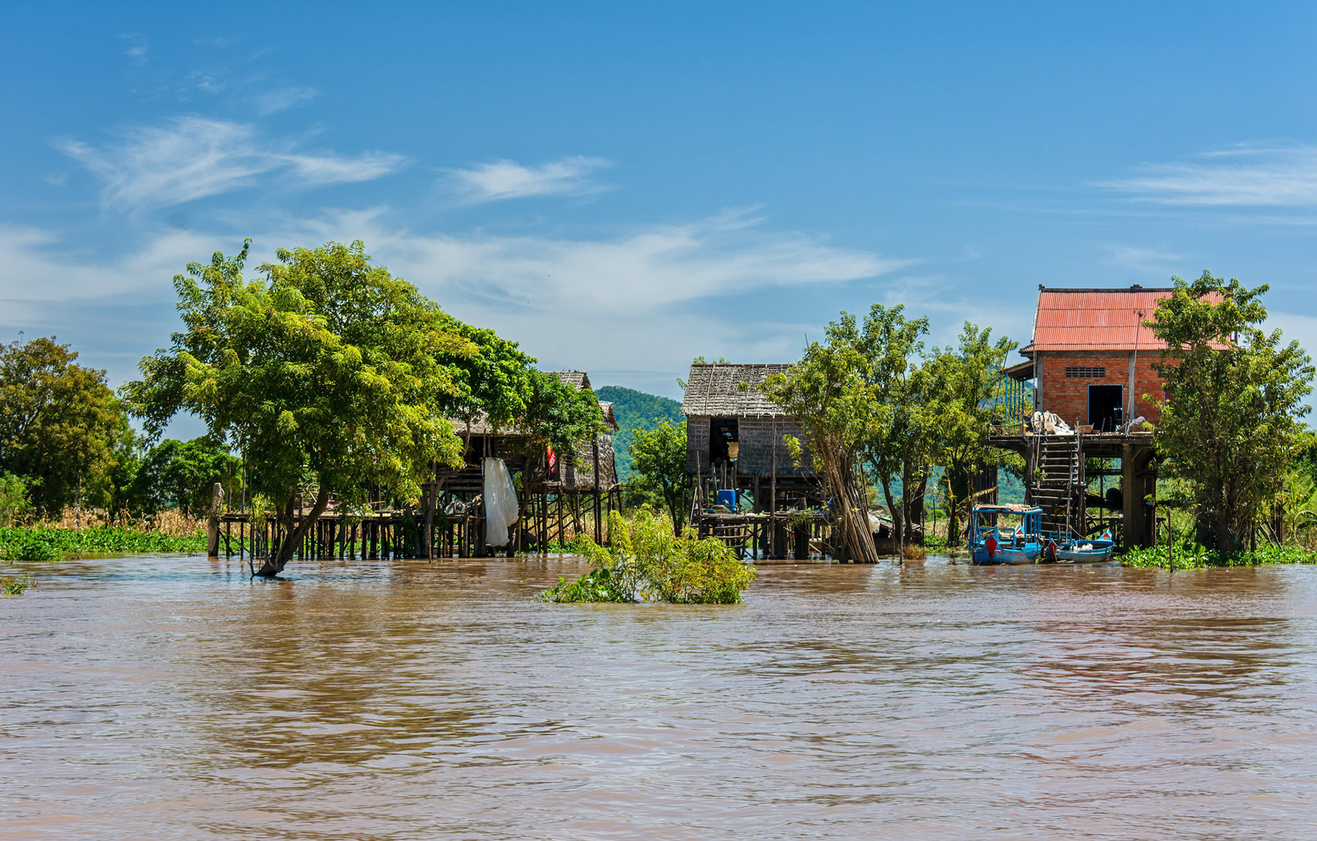
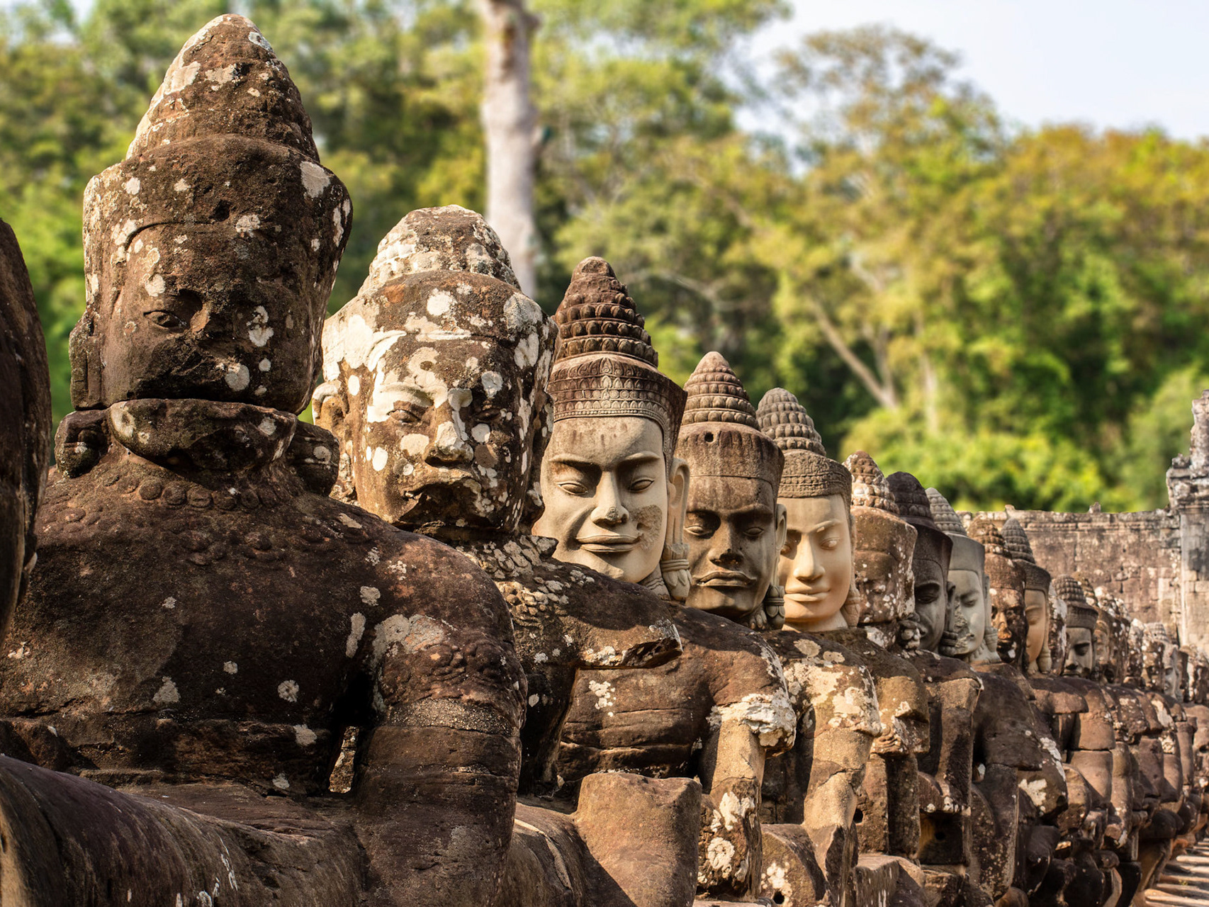
During the night we slowly navigated up the Tonlee Sap River about 75 km to Kampong Chhnang and in the morning transferred into tenders to visit the town and cruise around the floating village. Wikipedia says that when the area was first settled it was a coastal port “on the route between China and India” but that “due to sedimentation from the Mekong river, the coast line moved much farther to sea”. Considering that Mỹ Tho is nearly 300 km away and that Kampot, on the southern coast, is about 200 km away that’s a huge amount of sedimentary deposition; I was unable to find anything to indicate the time scale over which the accretion of the coastline occurred.
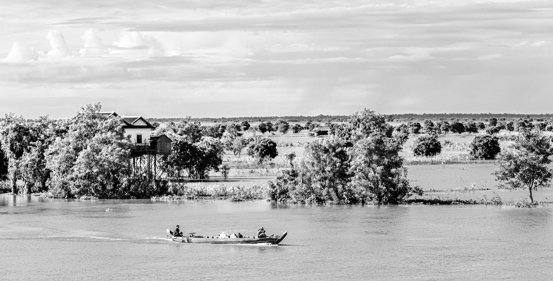
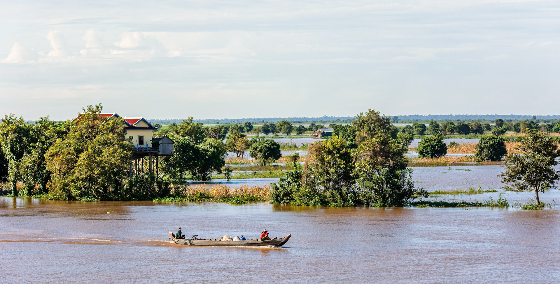
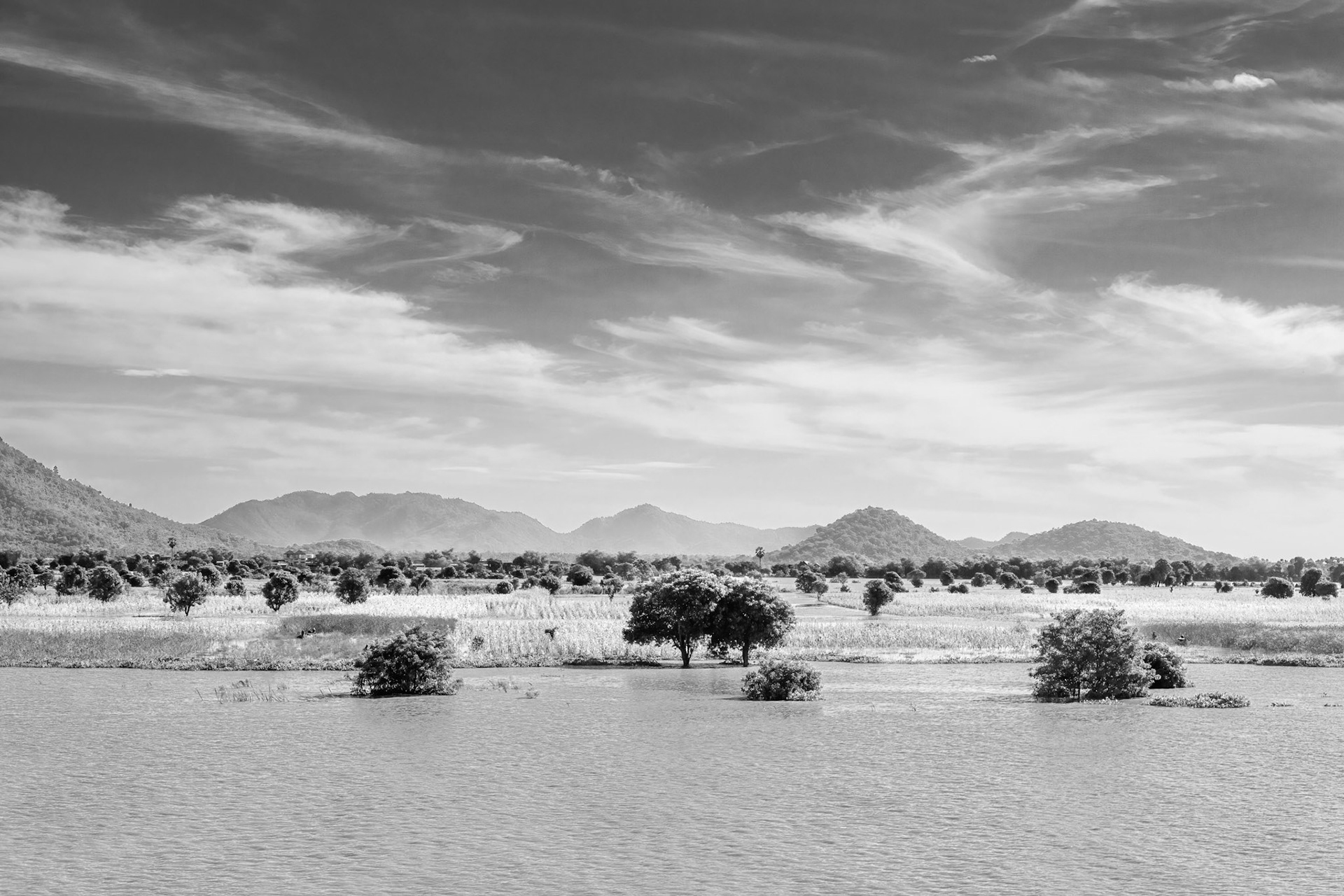
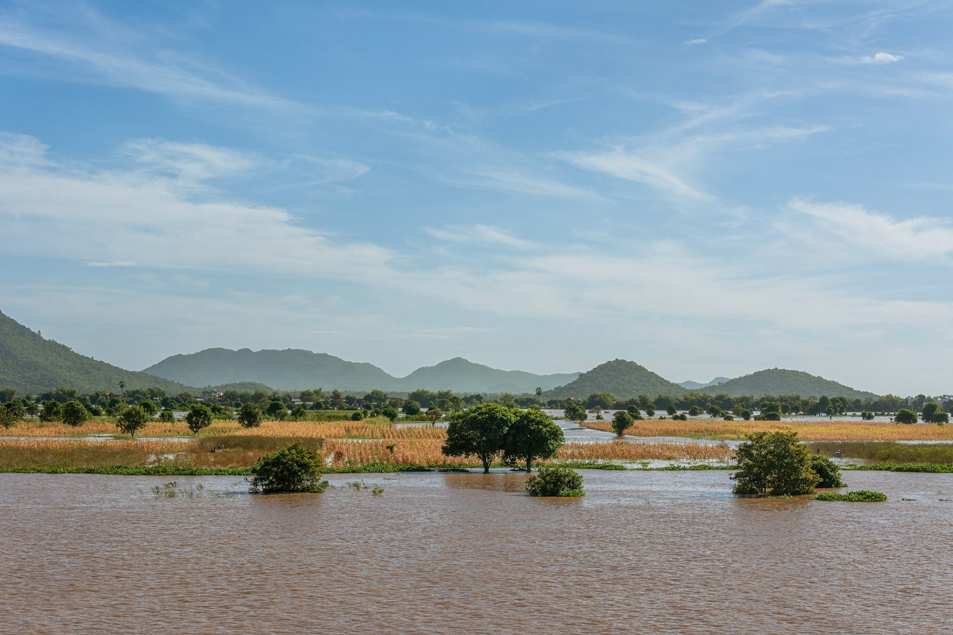
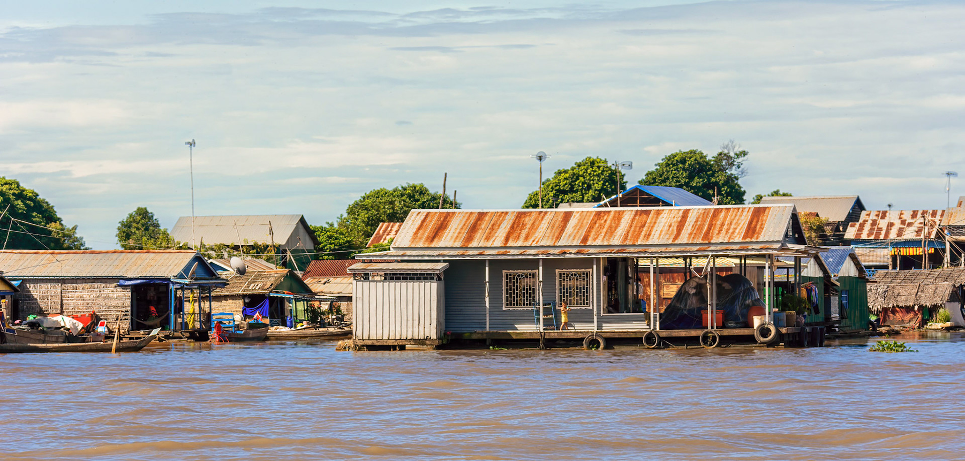
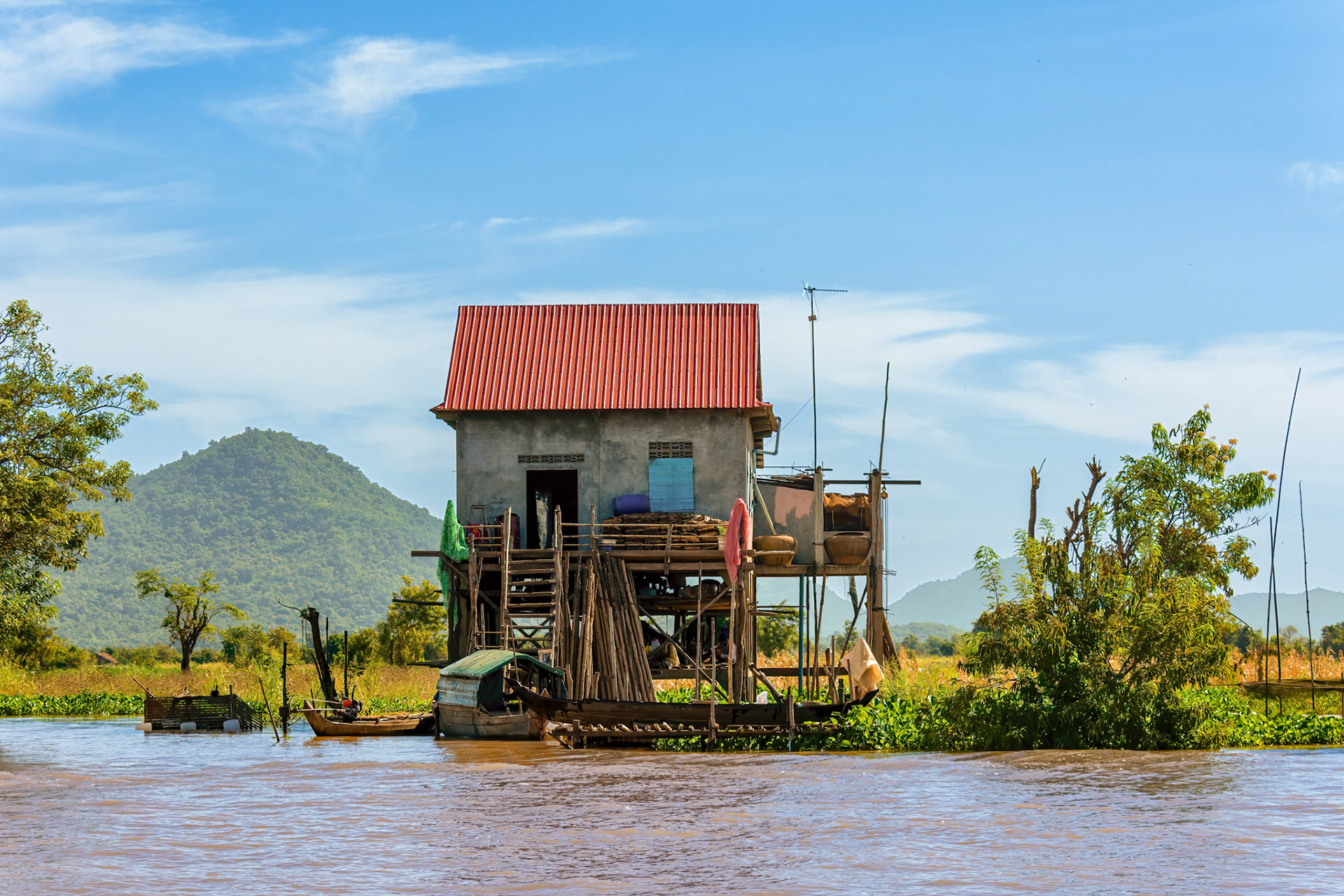
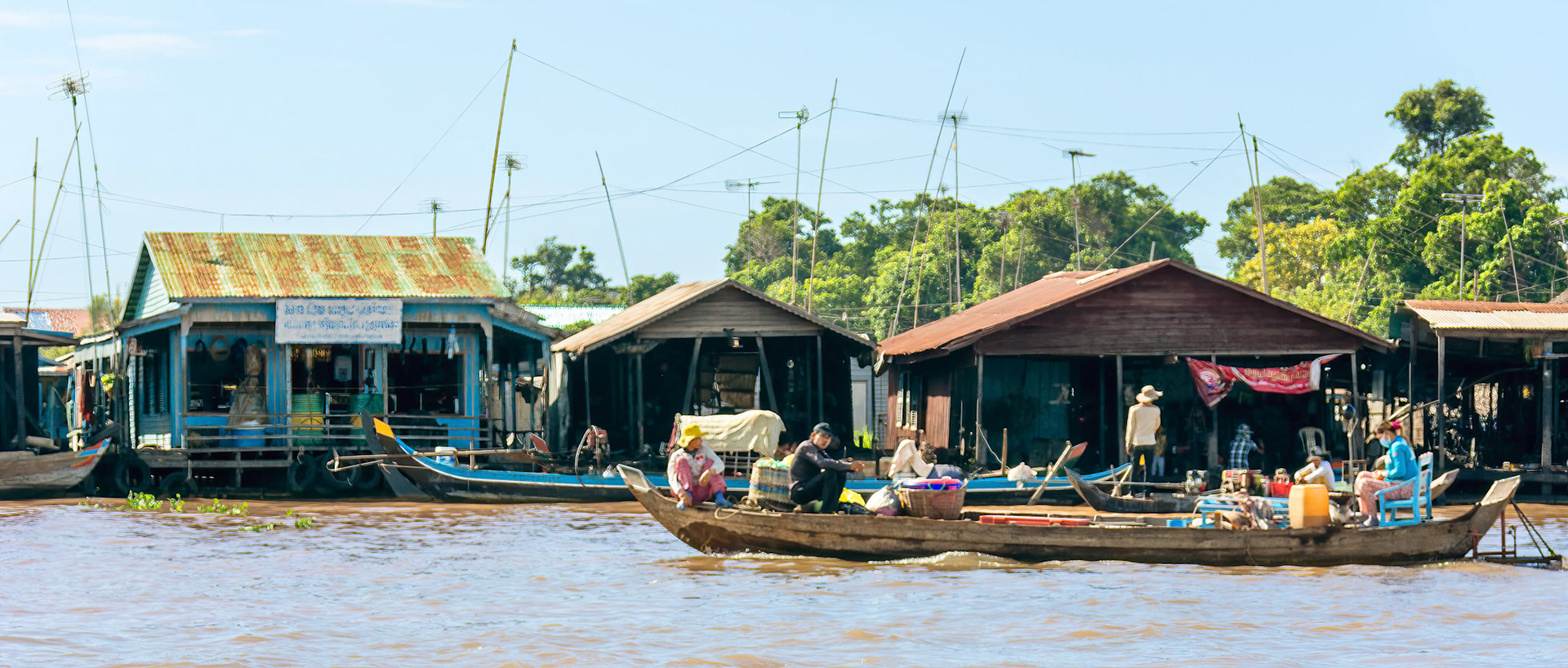
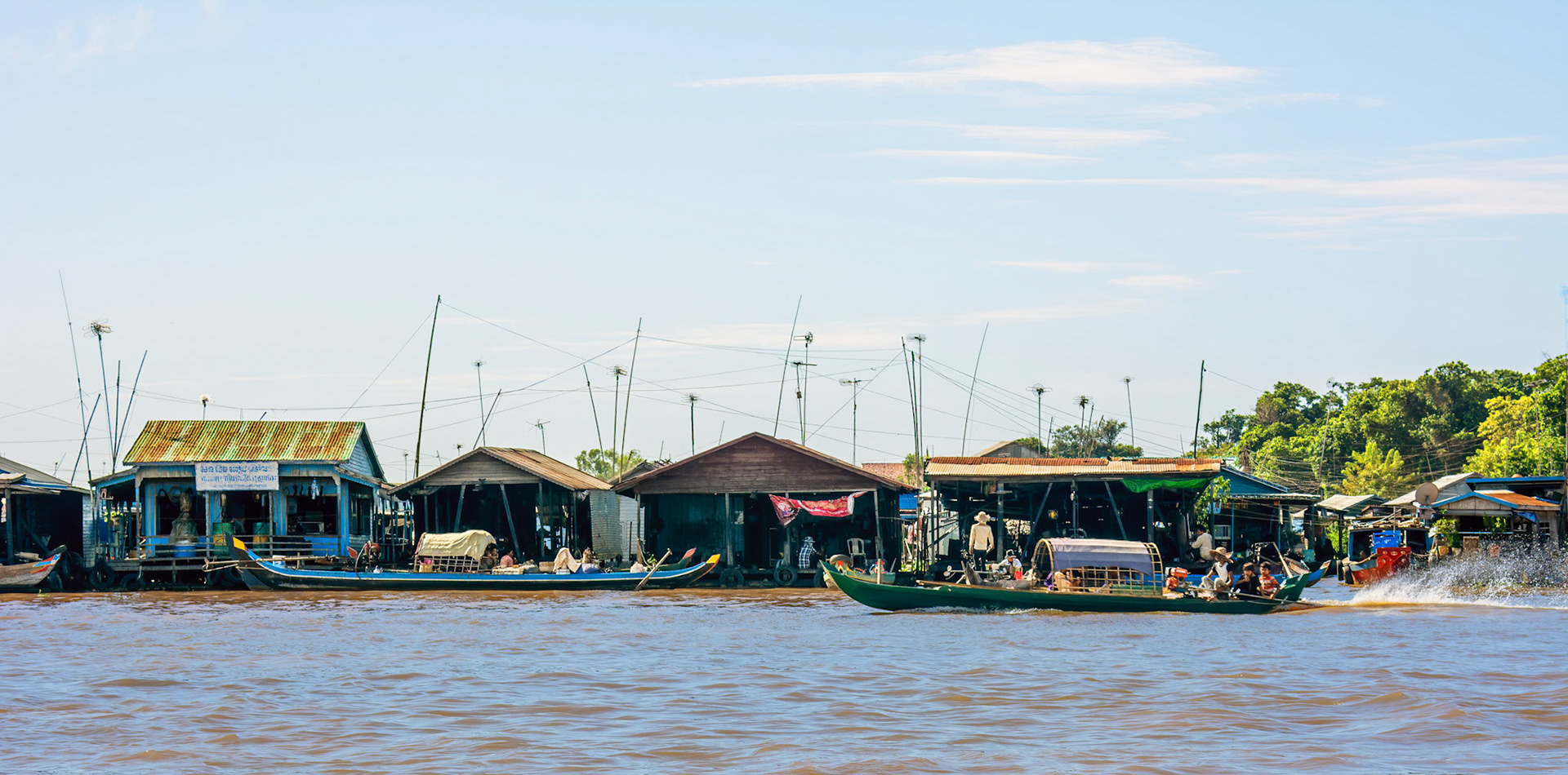
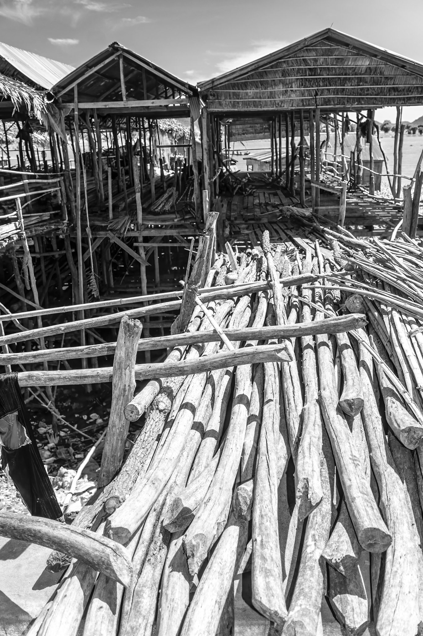
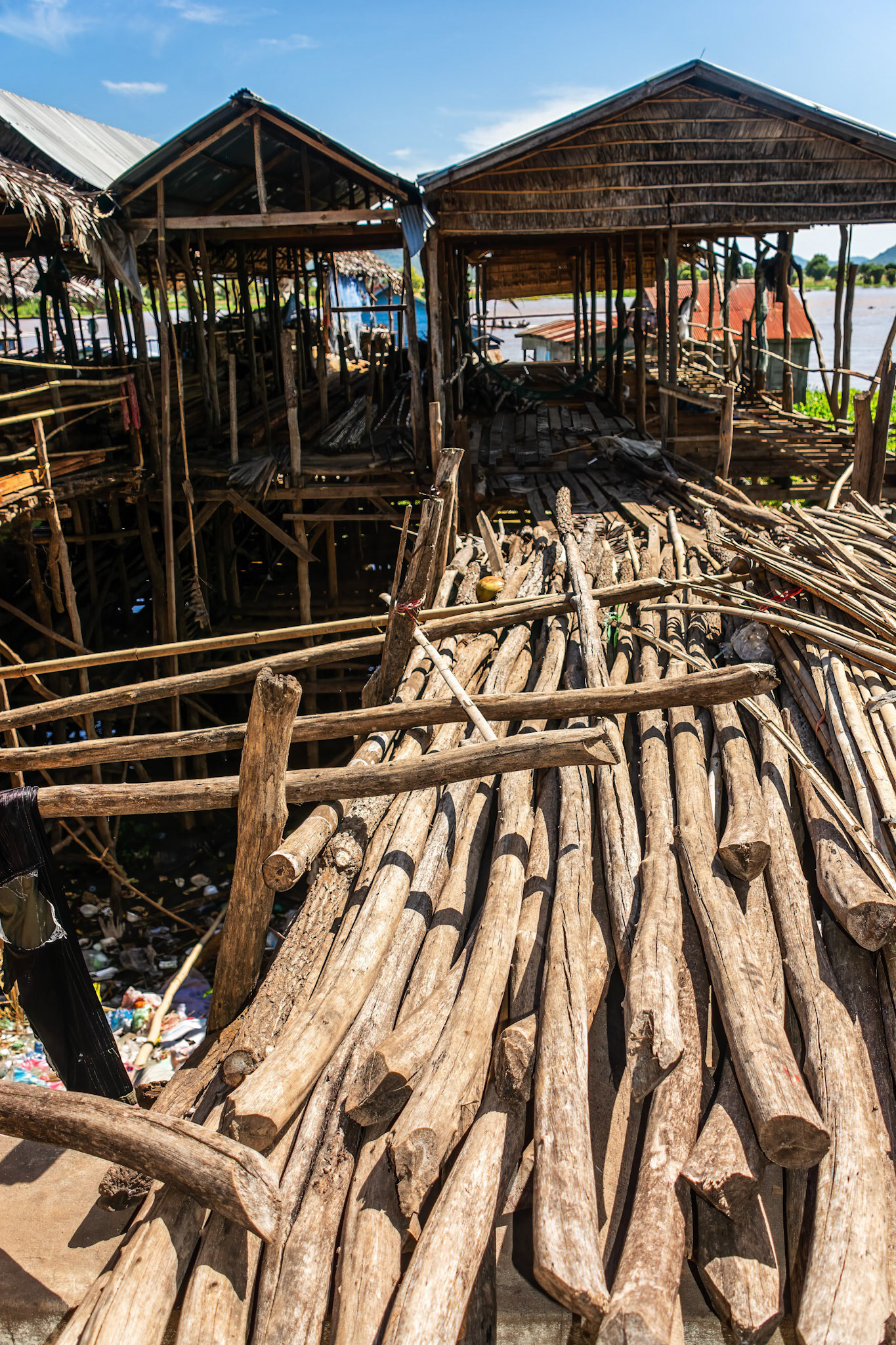
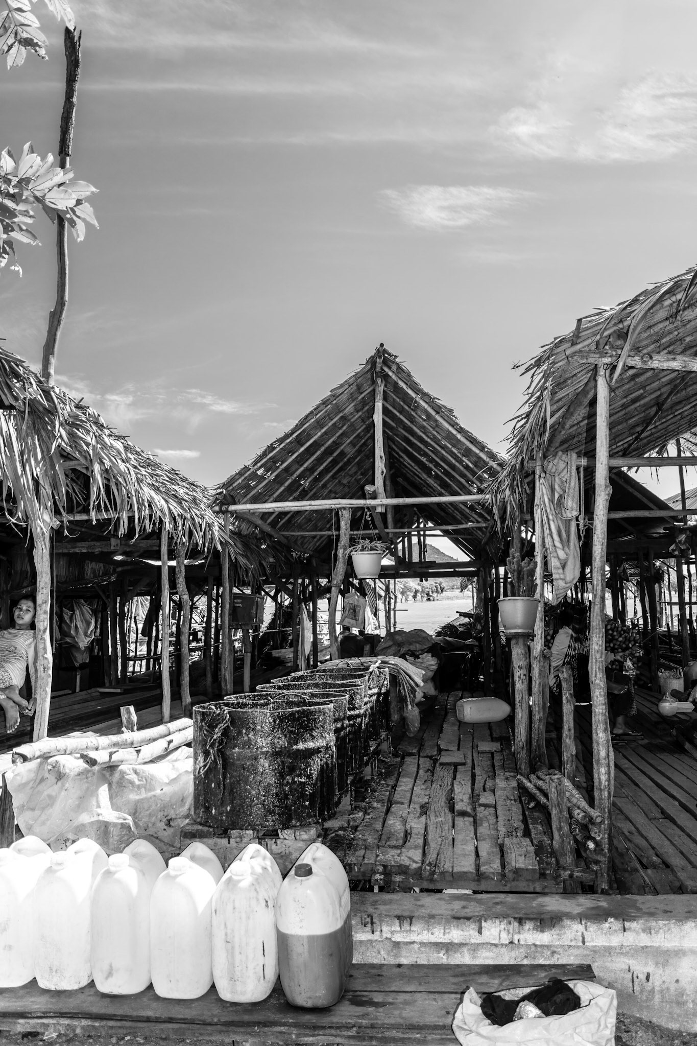
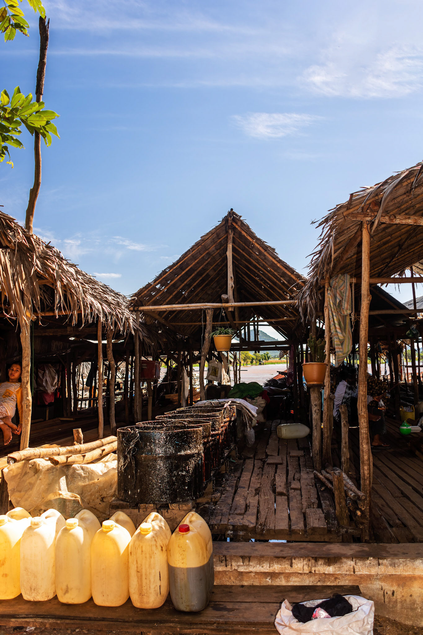
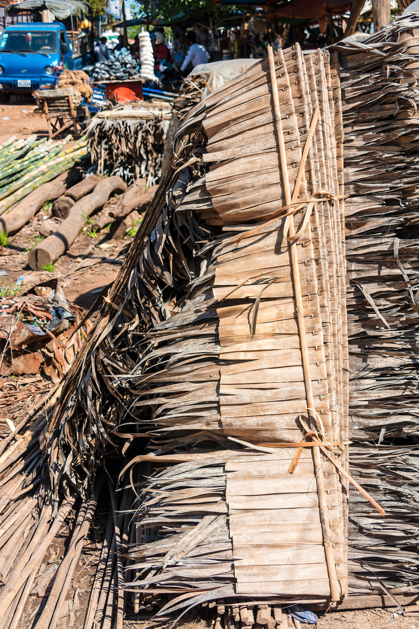
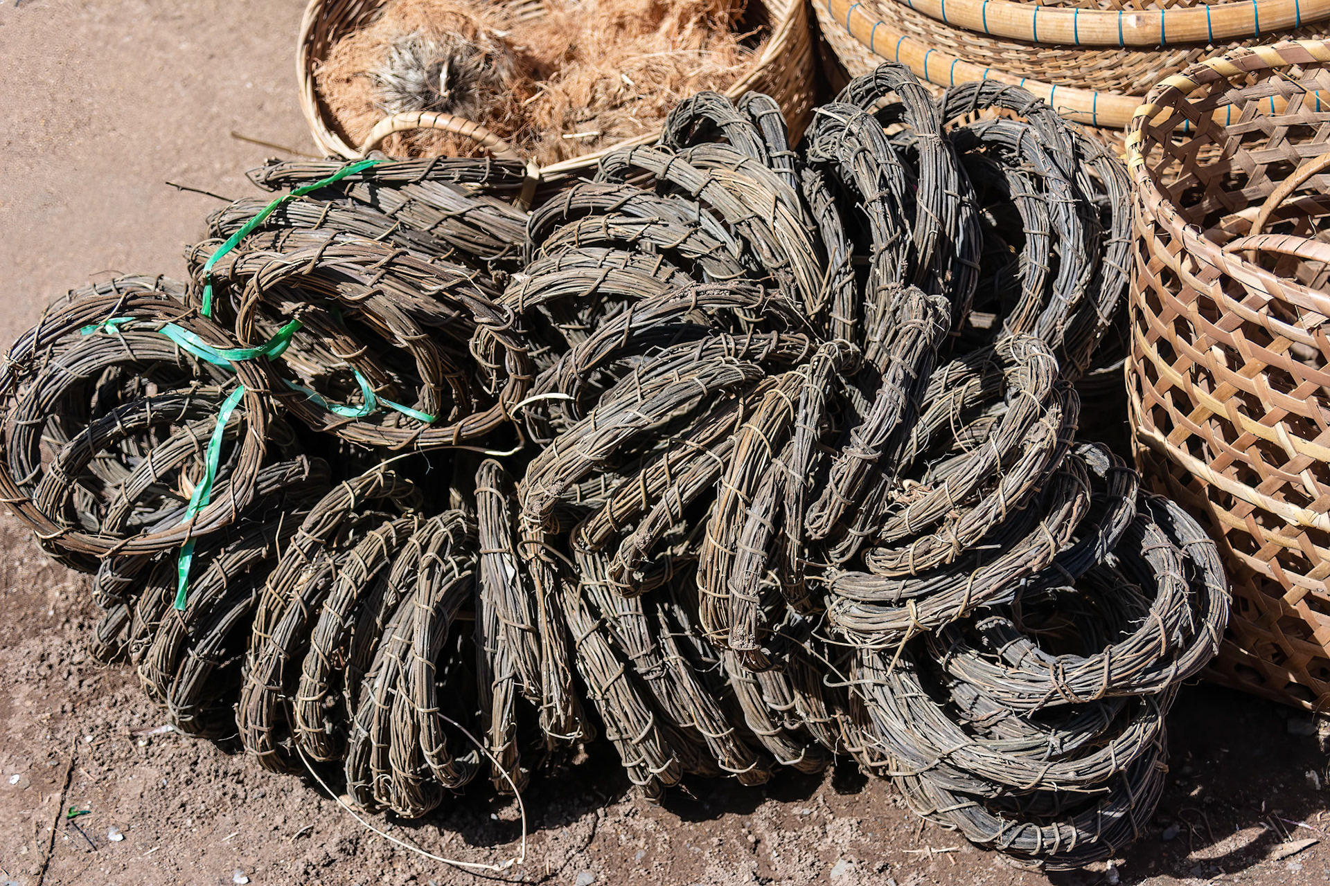
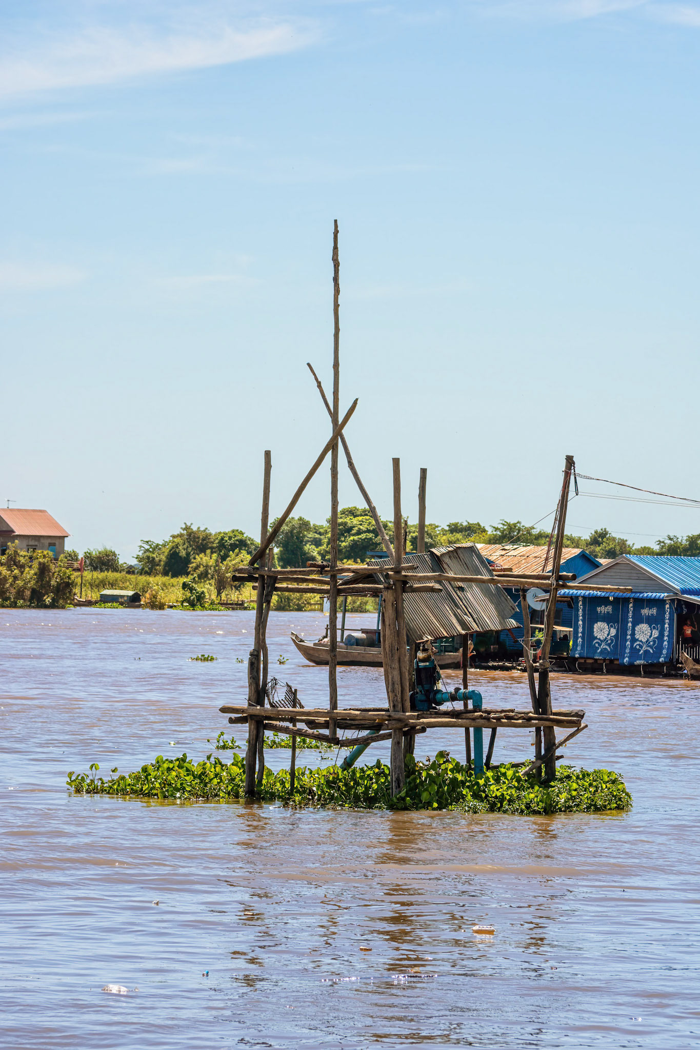
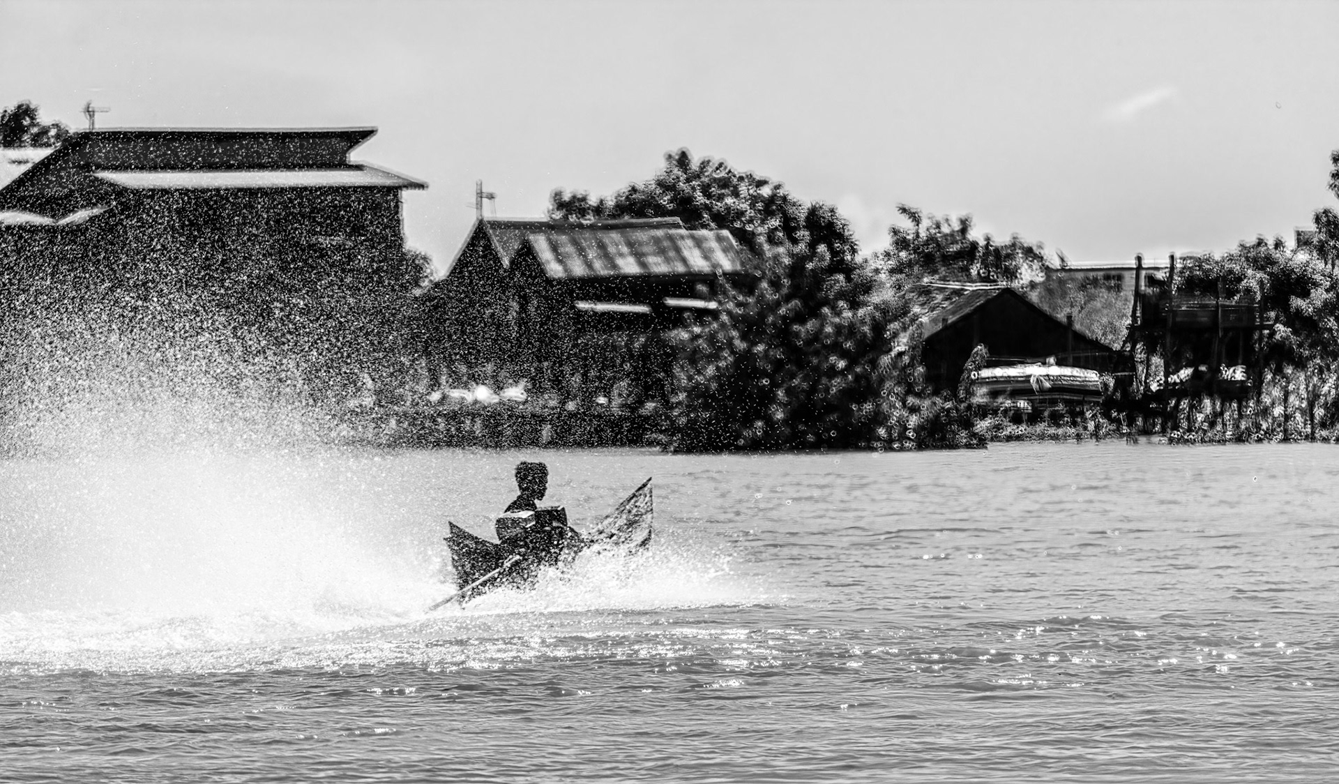
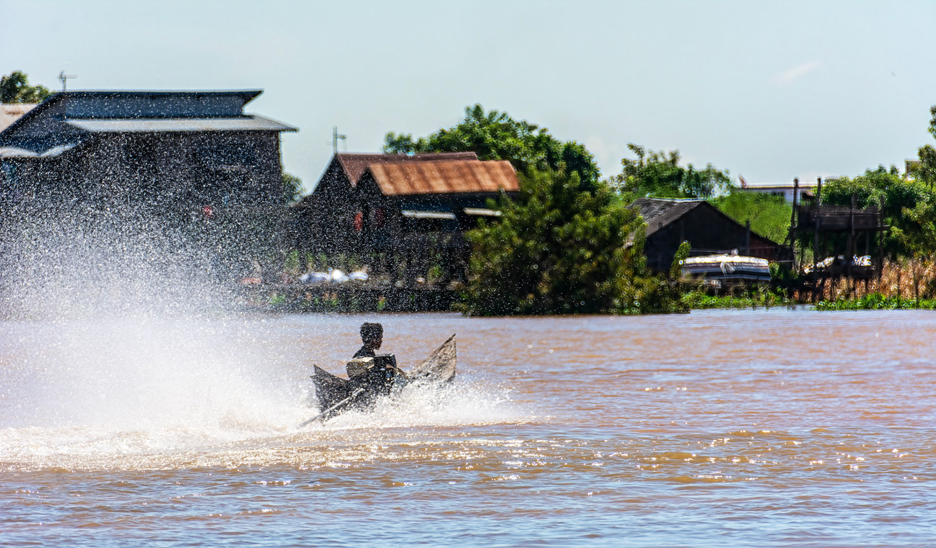
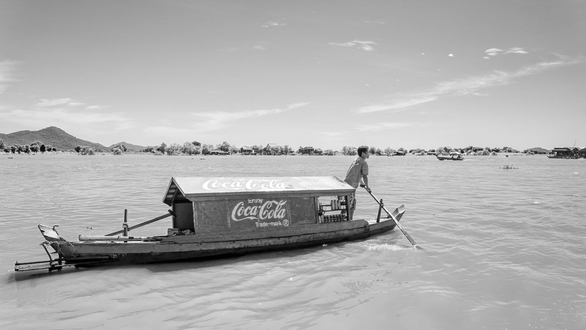
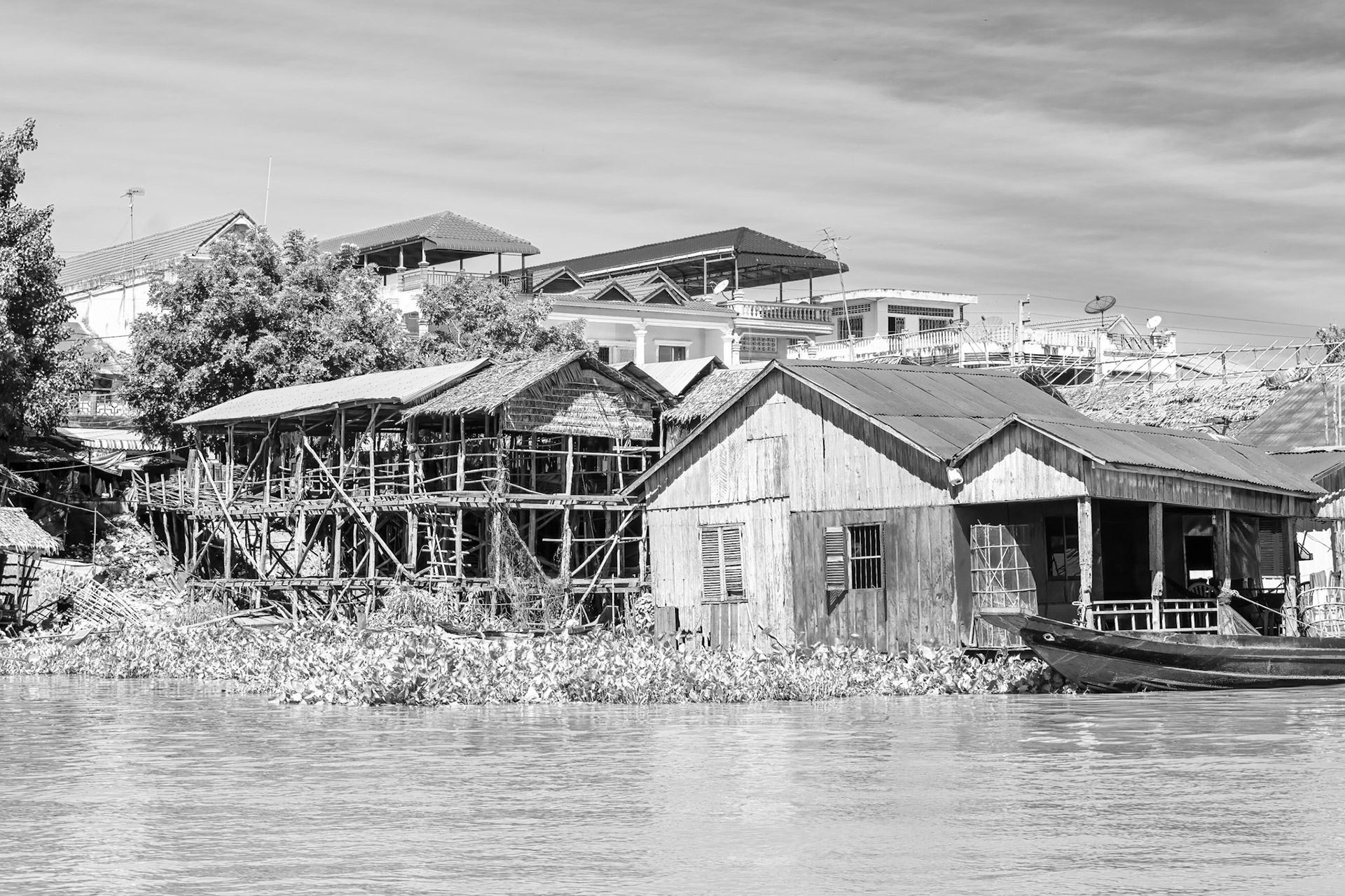
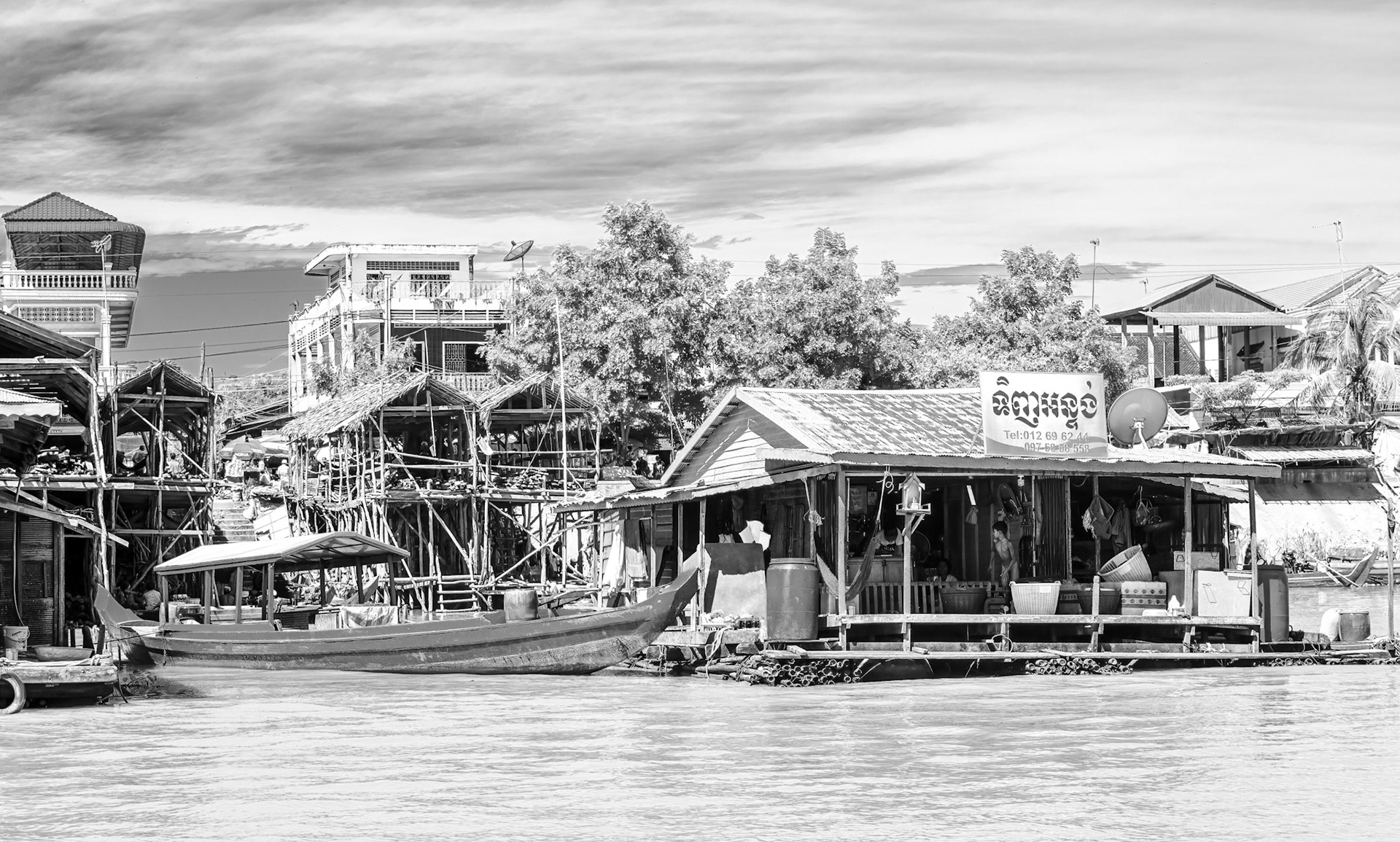
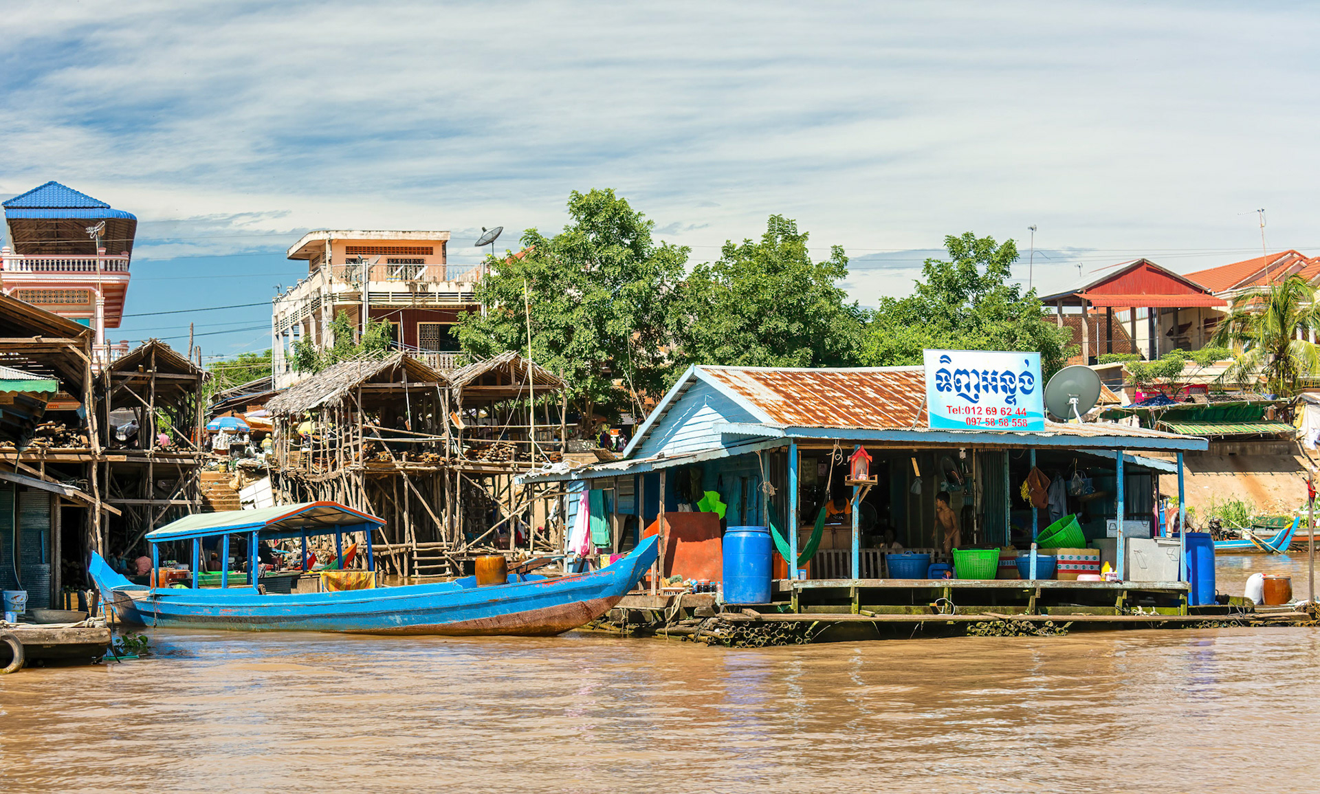
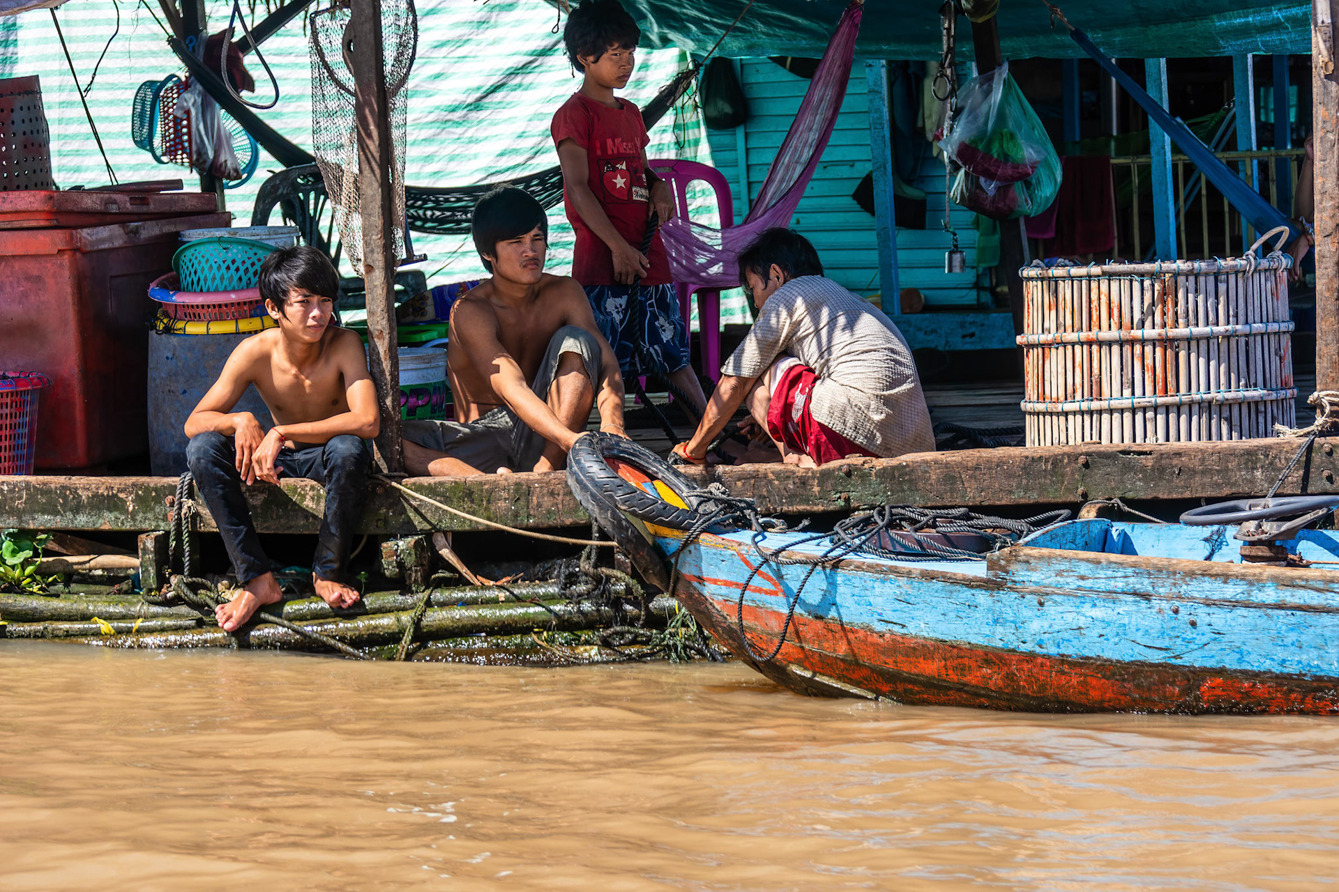
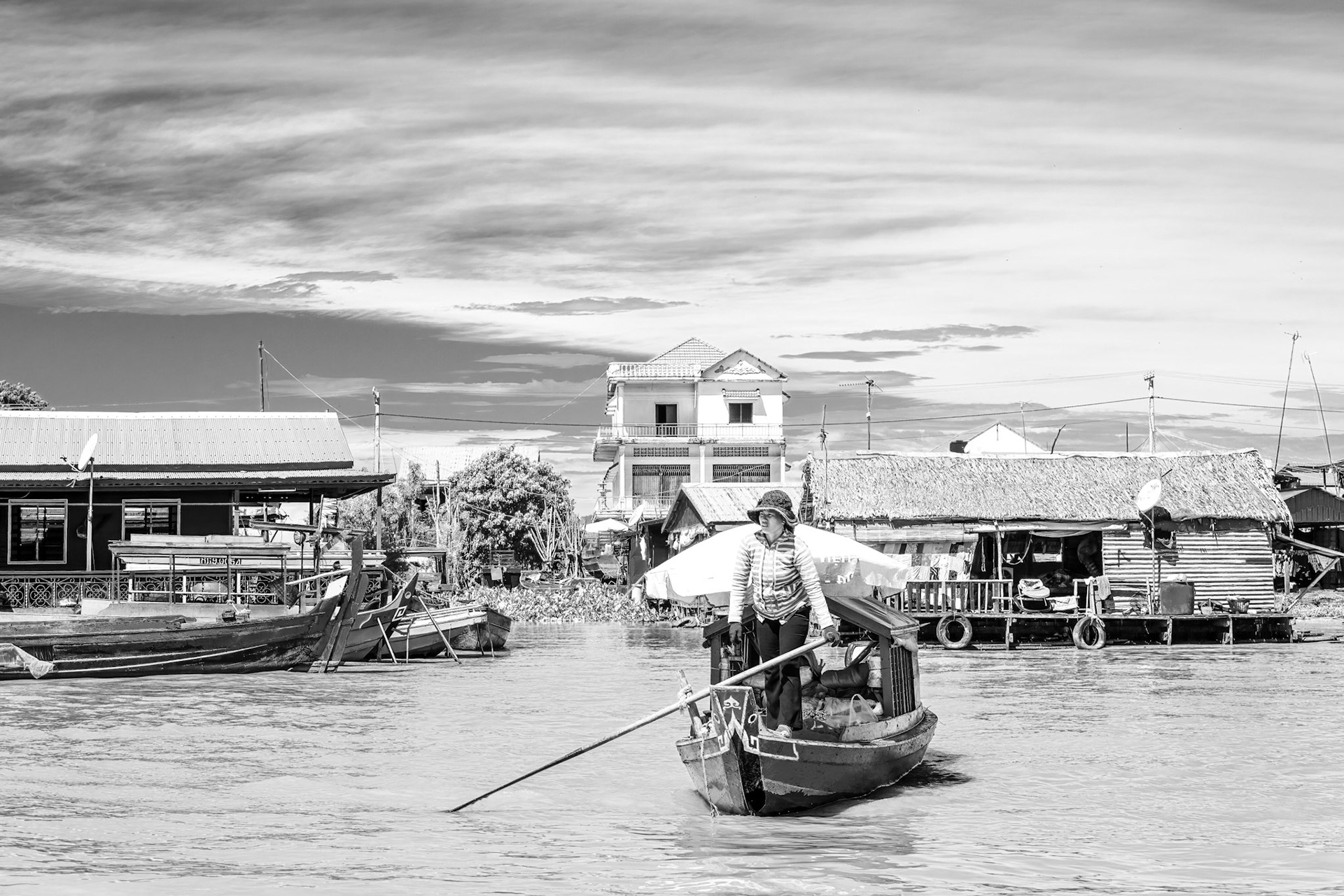
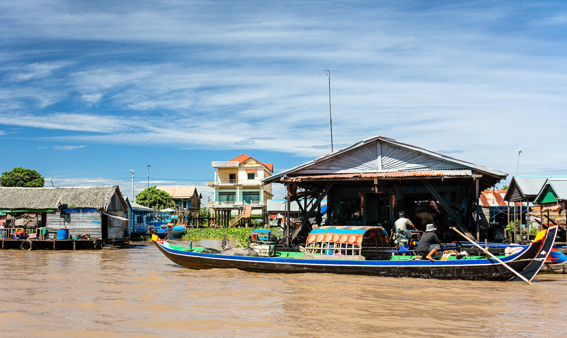
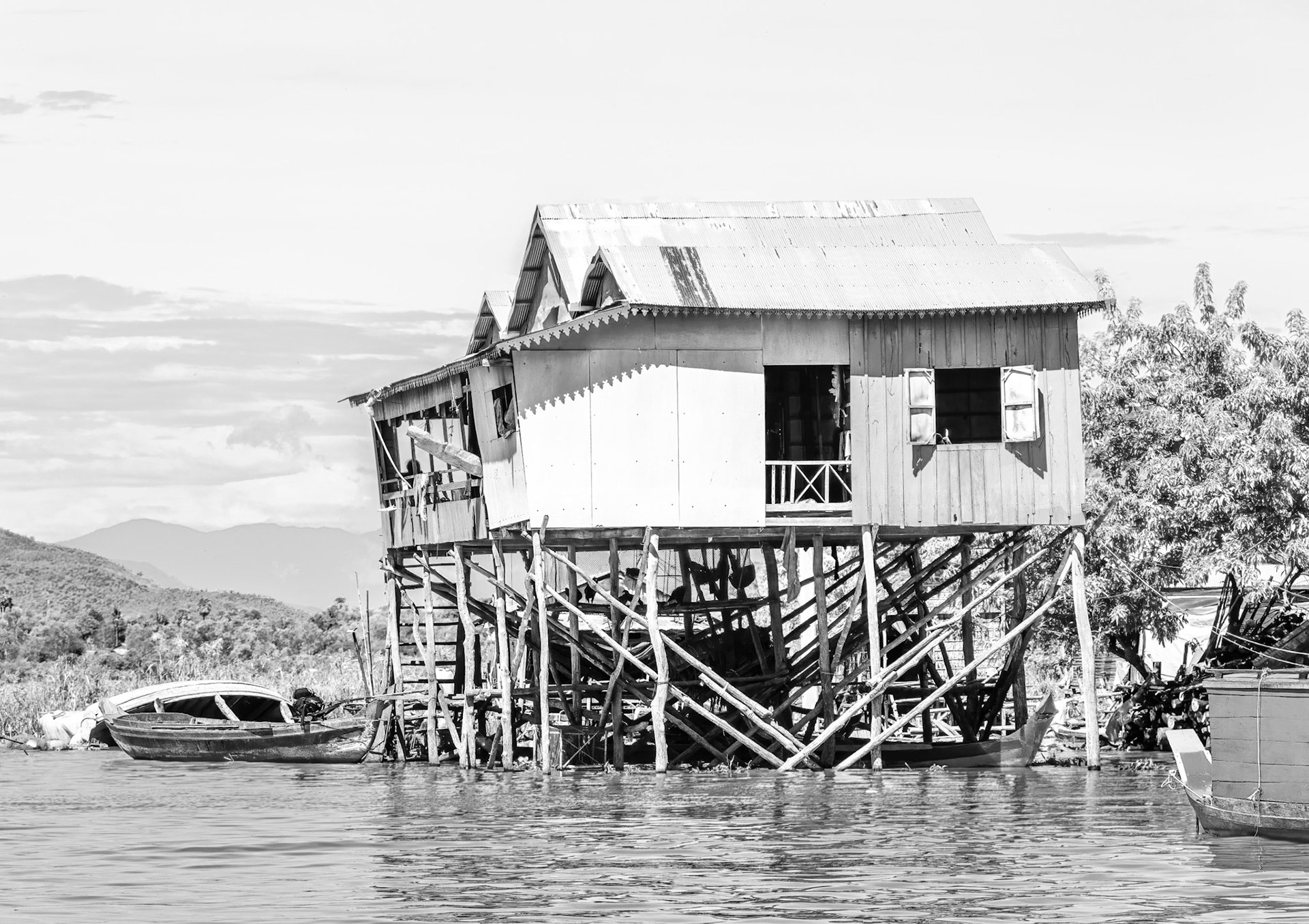
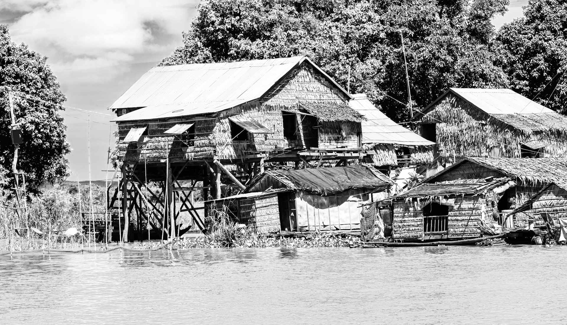
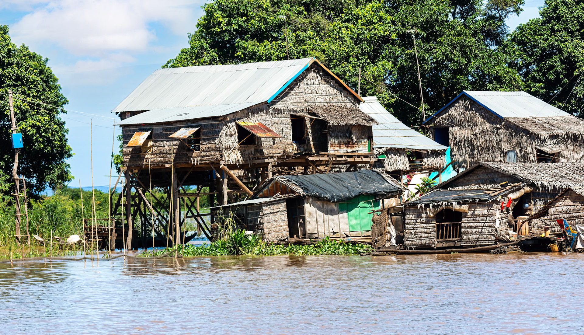
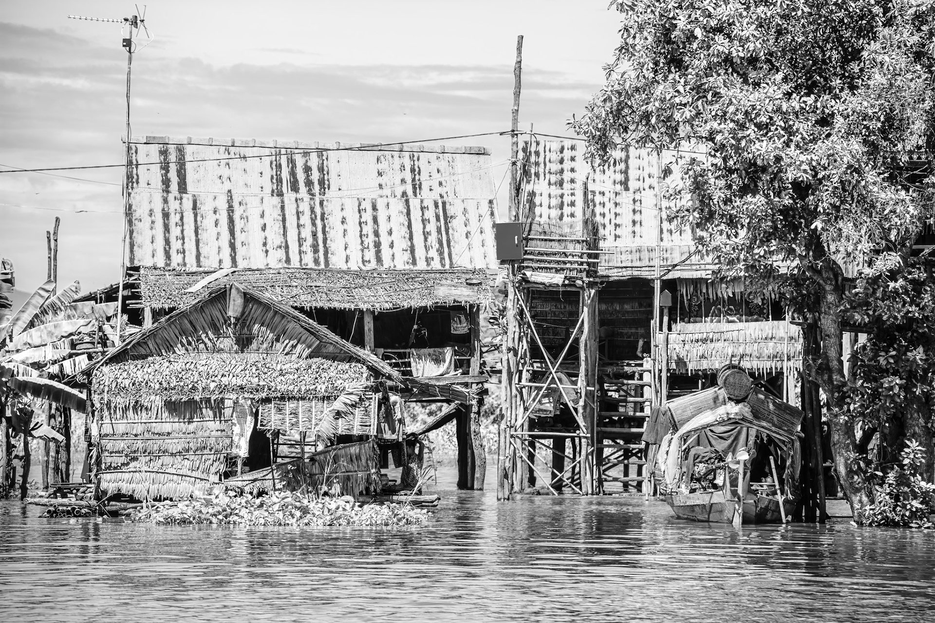
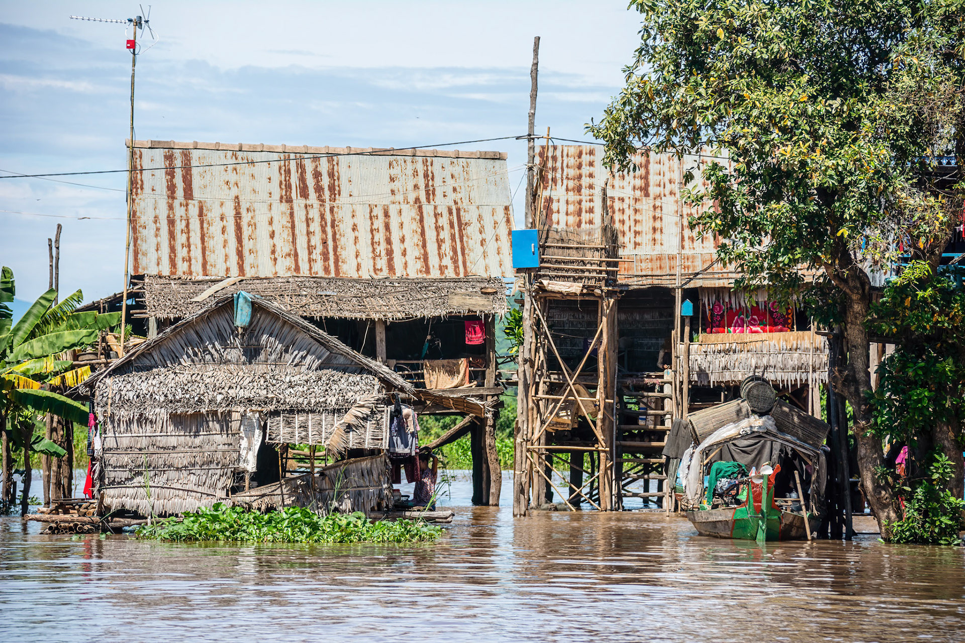
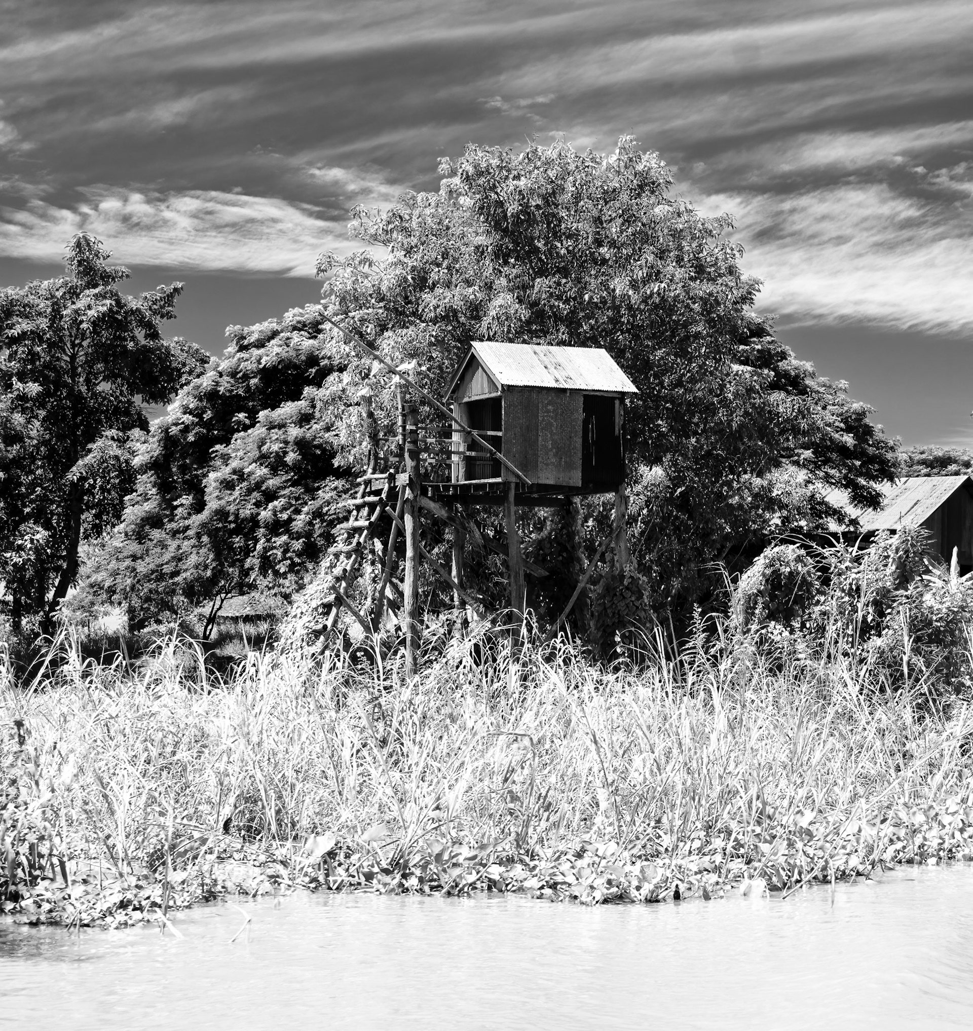
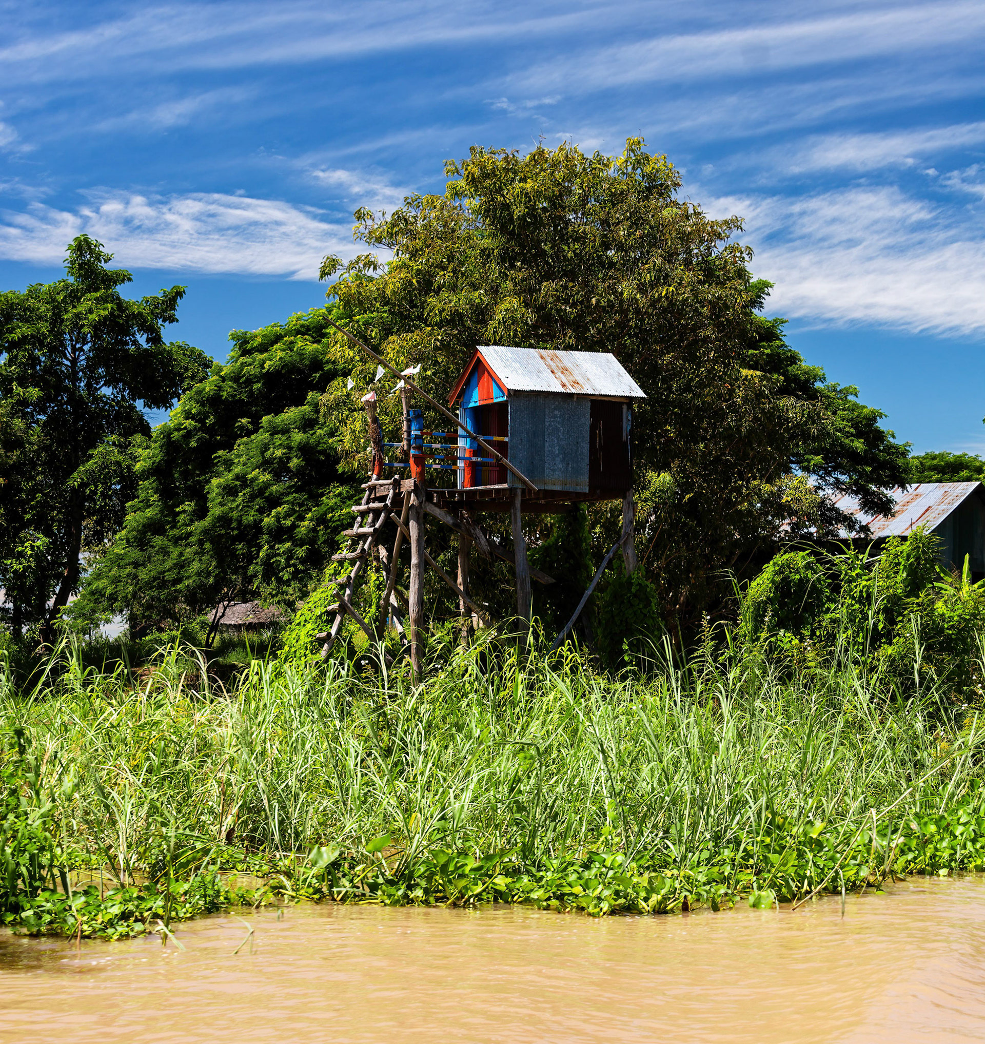
Now the town is pretty close to the geographical centre of Cambodia and is a major transportation hub for both road and water transport. Most of the people living in the floating village are ethnic Vietnamese, while they have very limited civil rights- not allowed to vote, own land and many occupations are closed to them- the Cambodian state does provide education, with some of the schools also part of the floating village. The pontoons for the house boats are mainly bamboo, which in a lot of cases has to be replaced every year.